
Khí hậu & môi trường
Satellites compare the 2026 El Niño with 1997
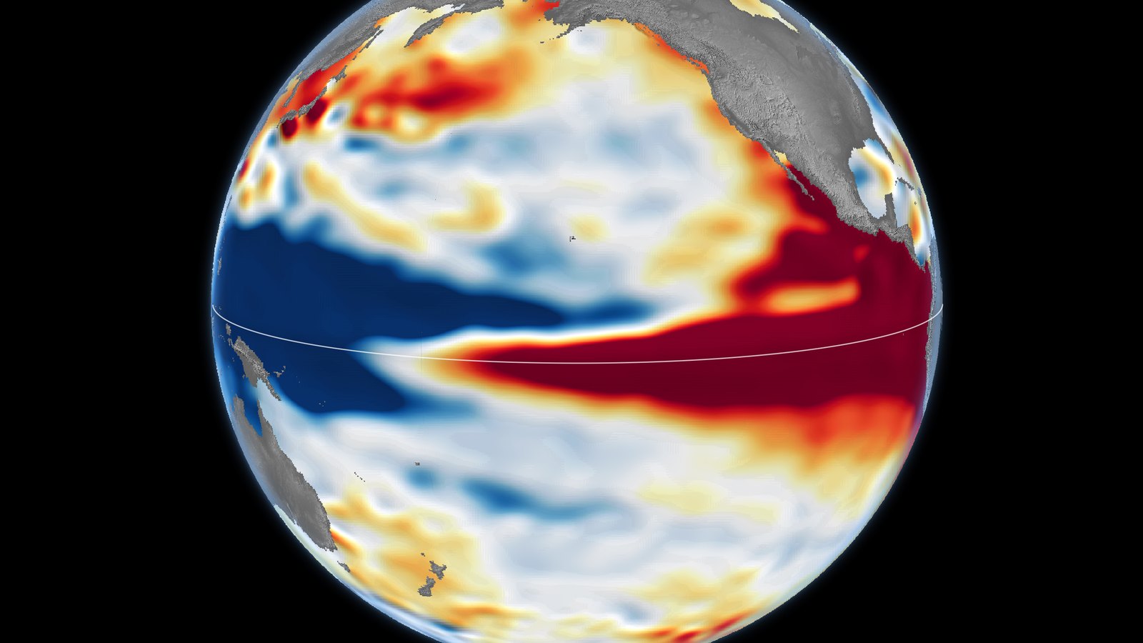
NASA maps of Pacific sea levels, published on October 23, show that the 2026 El Niño looks much like the very strong event of 1997.
On October 23, 2026, NASA's Earth Observatory published maps of sea surface height across the Pacific Ocean, comparing the 2026 El Niño with two very strong events from the past. On October 12, 2026, the pattern closely resembled the one recorded on October 13, 1997, during one of the strongest El Niño events in the satellite record.
El Niño is part of a natural climate pattern that returns roughly every two to seven years. During an El Niño, water in parts of the equatorial Pacific, the area of the ocean along the equator, becomes warmer than normal. Usually, the trade winds, which blow from the Americas toward Asia, keep warm water piled up in the western Pacific, where the sea surface stands higher than in the east. When these winds weaken, the warm water starts to move east, which weakens the winds even more. As a result, more warm water travels east, and the event keeps growing.
Từ vựng trong bài
Giống với: trông giống hoặc tương tự với một người hay một vật nào đó.
On October 12, 2026, the pattern closely resembled the one recorded on October 13, 1997.