
Khí hậu & môi trường
Satellites track how people change water on land
A NASA study shared on October 20, 2026 used gravity data from satellites to find 40 regions where people changed water on land.
On October 20, 2026, NASA's Earth Observatory shared a new map of changes in the water stored on land. The map comes from a study by NASA scientists that was published in the journal PNAS in September 2026. It uses satellite data from April 2002 to November 2025. The team found 40 regions where the changes were linked to human activities, such as watering crops and filling reservoirs. Outside the polar regions, such links appeared on every continent except Australia.
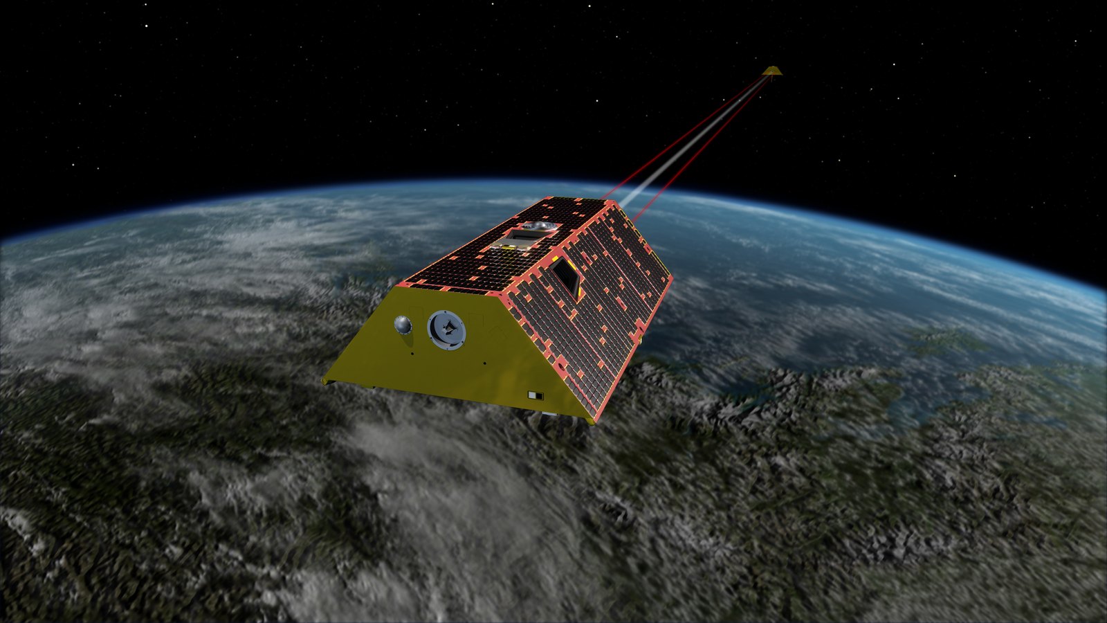
The data come from two missions, GRACE and GRACE-FO, and each one sent a pair of satellites into space. The two satellites fly one behind the other, about 220 kilometers apart. When the front satellite passes over an area with more mass, gravity pulls it a little more strongly. Instruments measure the tiny change in the distance between the two satellites. Water is heavy and moves around, so these changes show where water was gained or lost. This time, the team combined over 20 years of passes so that the map could show five to ten times more detail.
Từ vựng trong bài
Nước ngầm: nước được trữ dưới mặt đất, trong đất và trong những khe hở nhỏ của đá (trong bài là nước mà nông dân bơm lên để tưới cây trồng).
In many farming regions, the amount of stored water fell where farmers pumped groundwater for their crops.